North Dorset Corallian quarries (lead authors: JT and WGT)
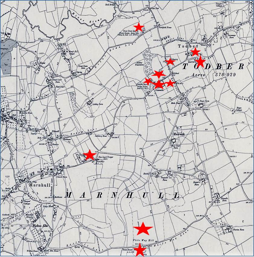
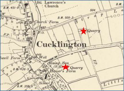
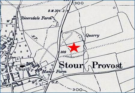
There were many small quarries providing stone for the Blackmore Vale, but most have been infilled.
Reproduced with the permission of the National Library of Scotland from their website http://maps.nls.uk/os/6inch-england-and-wales/
Reproduced with the permission of the National Library of Scotland from their website http://maps.nls.uk/os/6inch-england-and-wales/
|
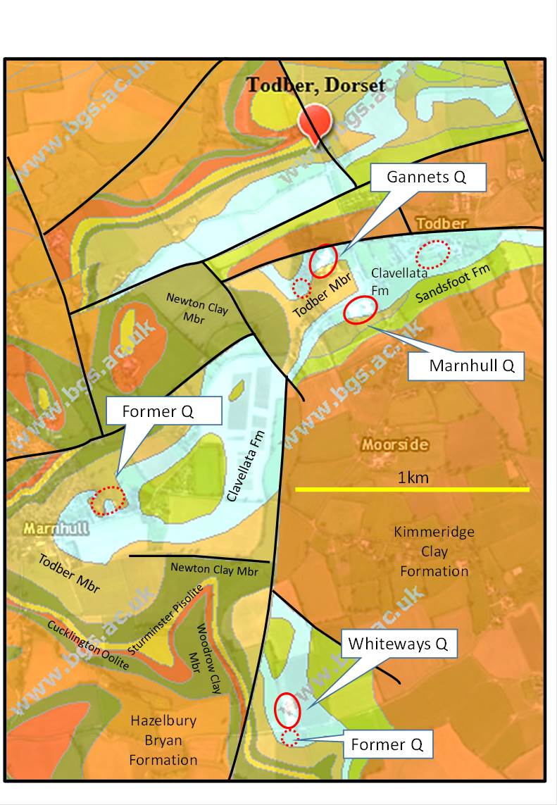
The geology map shows that this area has many faults which repeat the sequence of the Corallian and Kimmeridge outcrops. The overall dip of the beds is to the south east, but these faults will have changed the dip in some blocks.
Many of the quarries were excavated through the Clavellata Formation, and the overlying Kimmeridge Clay, into the Todber Freestone but when stone was excavated by hand the overburden became too great. In the 20th century it became possible to excavate with machines, and there are now two large quarries in this area. On either side of Todber crossroads Birds quarry and Church Close quarry are designated as Local Geological Sites, and so is Whiteways quarry further south. As they are all working sites, of different types, permission must be sought before visiting. The map contains British Geological Survey materials © NERC 2017 |

