Beacon Limestone quarries – formerly known as Junction Bed (Middle Jurassic)
|
NGR approx. ST592 179, lat.50.9591, long. -2.5816
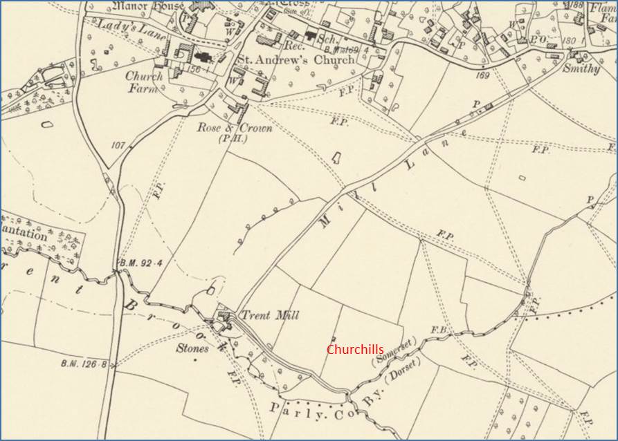
The tithe map for Trent, Somerset, records that the field known as Churchills had small quarries that provided the Beacon Limestone for building St. Andrew’s church. Trent has changed to Dorset. The Somerset Vernacular Building Research Group has completed a survey of the buildings in Trent. |
NGR SY4485 93815, lat 50.7413, long. -2.7881
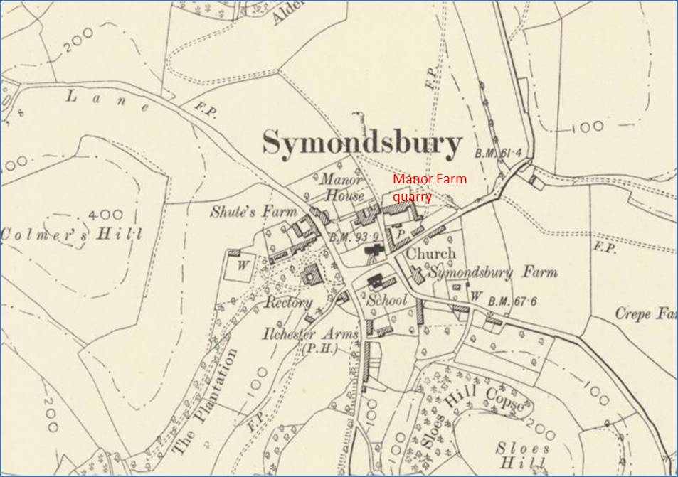
Symondsbury is underlain by the Beacon Limestone, and Manor Farm quarry is still visible north of the tithe barn. Maps reproduced with permission of the National Library for Scotland, from their website maps.nls.uk/os/6inch-England-and-wales/ Text by JT, May 2017 |


